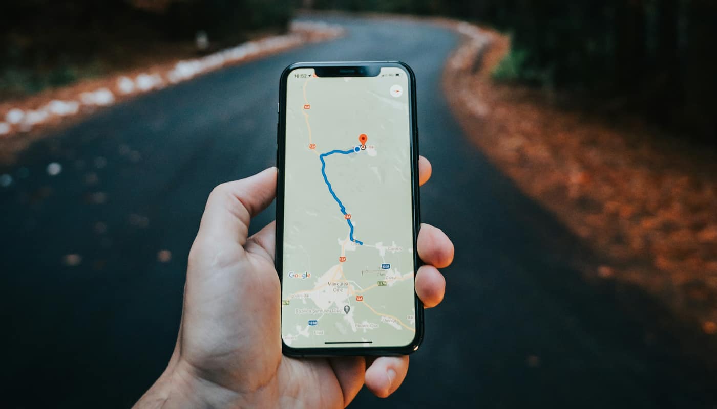
A blue dot on a phone screen feels ordinary. Behind it is a system of satellites orbiting about 12,550 miles overhead, each broadcasting signals so precisely timed that a receiver can work out where it is by measuring how long they took to arrive. The Global Positioning System, or GPS, is owned by the U.S. government and operated by the U.S. Space Force, and it has become infrastructure far beyond maps.
How a receiver finds your position
Each GPS satellite carries extremely accurate atomic clocks and continuously transmits a signal containing its location and the exact time the signal was sent. A receiver, such as the chip in a phone or a car, notes when the signal arrives. Because radio waves travel at the speed of light, the delay reveals the distance to that satellite.
One distance puts you somewhere on a sphere around the satellite. Distances to several satellites narrow it down: where the spheres intersect is your location. In practice, a receiver needs signals from at least four satellites. Three provide the position in three dimensions, and the fourth corrects for the fact that a receiver’s own clock is far less accurate than the atomic clocks in orbit. Solving for that timing error is what makes the system work with cheap receivers.
The constellation is designed to have at least 24 operational satellites arranged in six orbital planes so that several are visible from nearly anywhere on Earth. In practice, more than that are usually in service. GPS is also one of several navigation systems; others include Russia’s GLONASS, the European Union’s Galileo and China’s BeiDou. Many phones listen to more than one, which improves speed and accuracy.
How accurate GPS is
The government’s own GPS.gov site states that smartphones are typically accurate to within about 16 feet (4.9 meters) under open sky. Dedicated receivers that use extra correction signals, or multiple frequencies, can do far better, down to centimeters in surveying and some farming equipment. Accuracy declines near tall buildings, under dense tree cover and indoors.
Phones also blend other information. They use nearby Wi-Fi networks, cell towers and motion sensors to fill gaps, which is why your location may still appear when satellite signals are weak.
Why GPS sometimes goes wrong
Several things degrade a fix:
- Urban canyons. Signals bounce off glass and concrete before reaching the receiver, a problem called multipath. The receiver measures a longer path than the true one, and the dot drifts, often to the wrong side of the street.
- Atmosphere. Signals slow down passing through the ionosphere and troposphere. Receivers model and partly correct for this, but errors remain.
- Blocked sky. Tunnels, parking garages and thick walls block the weak signals entirely.
- Satellite geometry. If the visible satellites are clustered in one part of the sky, the position estimate is less certain.
- Software and map errors. Sometimes the receiver is right and the map is wrong.
Can it be jammed or faked?
GPS signals are faint by the time they reach the ground, which makes them easy to overpower. Jamming uses a transmitter to drown out the signal so receivers lose their fix. Spoofing goes further, broadcasting counterfeit signals that make a receiver believe it is somewhere else, or at a different time. Both have been reported near conflict zones, and aviation and maritime authorities have issued warnings about interference in various regions. Small, cheap jammers also exist, and using one is illegal in the United States because they can disrupt emergency and aviation systems.
Military GPS signals have encryption features that make spoofing harder, while civilian signals are open by design. Researchers and agencies have been working on backups and on authentication for civilian signals.
Why does it matter beyond navigation?
GPS is also a global timing service. Many systems use its precise time signal to stay synchronized, including cellular networks, electric power grids, financial trading systems and data centers. A loss of GPS timing is, for such systems, as significant as a loss of positioning. That is why agencies such as the Department of Homeland Security and the Department of Transportation have studied resilience, and why many critical operators use backup clocks.
Emergency responders also depend on location, whether to find 911 callers or to coordinate after a disaster, a theme that runs through how federal disaster declarations work.
What you can do as a user
- Download offline maps before a trip into an area with weak coverage, such as a remote park. This pairs naturally with advice in planning a national park visit, where cell service can disappear.
- Carry a paper map or know the route for backcountry travel, and treat the phone as one tool, not the only one.
- Check location permissions. Many apps request your position, and settings let you choose “while using” or “never.” Location trails are valuable to data brokers, and they can be part of what is exposed in a breach, as described in what to do after a data breach.
- Notice odd behavior. A device that suddenly places you far away may be encountering interference.
Sources: GPS.gov; U.S. Space Force; Federal Aviation Administration; Federal Communications Commission; Department of Homeland Security